Petroleum Africa
Find us on: 


Wednesday, February 6, 2019
By Michael Macdonald and Rabie Ali, Business Development Manager, GEOLOG INTERNATIONAL
The measurement and monitoring of mud gas data and the collection of drill cuttings while drilling is a standard practice in Mud Logging during the drilling of both exploration and development wells. Continuous gas monitoring enables operators, in general, to indicate the presence of hydrocarbon bearing intervals in addition to safety purposes. The collection of cuttings allows for a basic geological study to be completed on-site while preserving the cuttings for additional potential analysis in the future.
A suite of services which extend beyond conventional Mud Logging to more advanced analysis, inclusive of: Gas While Drilling (GWD), Cuttings While Drilling (CWD), Real-Time Isotopic Analysis, Flow Monitoring and Drilling Optimization is available. These services are enabled by recent technological innovations in surface acquisition technology and have already demonstrated huge potential in improving the characterization of reservoirs while providing operators with direct cost savings. The results, validated by correlation and comparison with other data such as downhole logs, well tests, PVTs, etc., have allowed for a new set of applications, such as:
Well placement traditionally refers to the real-time positioning of wellbores using measurements acquired mainly downhole. The term is often used in reference to directional or horizontal wells that are oriented to maximize contact with the most productive parts of reservoirs. Due to the economic advantages of maximizing reservoir contact, horizontal and multi-lateral development programs have quickly become the new norm in the Middle East and globally.
GEOLOG contributes to the challenge of well placement by providing near real-time analysis of either advanced mud gas data or the elemental and mineralogical signatures of the cuttings which return to surface (chemostratigraphy).
In both cases, either through pre-drill analysis of offset wells or by analyzing the data from a pilot hole, the mud gas and/or mineralogical/elemental signature of the target reservoir(s) are identified. These signatures can then be monitored from surface to ensure the well remains within the target zone. GEOLOG has deployed both of these methods in the Middle East and have been able to clearly demonstrate added value by reducing the number of downhole measurements and, in some cases, by providing the sole dataset used to place the well after downhole failures. These surface datasets have proven to be key components of the integrated data model used in optimal well placements in both conventional and unconventional reservoirs.
While drilling a lateral well in Kuwait Oil Company’s Middle Marrat carbonate reservoir, GEOLOG’s G8 service was utilized to complement the LWD resistivity and gamma ray readings. While drilling the pilot hole, the target reservoir was initially identified (F9). Once the lateral section commences, utilizing the mud gas data, it is quite clear when the reservoir has been left. This is seen by the sharp drop in the C6 and C7 components of the hydrocarbons in the mud gas. However, looking at the LWD resistivity and gamma ray in this case, there is very little movement. This is due to the increased cementation once the carbonate reservoir has been exited. In a case such as this, the mud gas data becomes invaluable in geosteering the well back into the zone of interest.
Gas ratio analysis has been used effectively for real-time gas evaluation. These ratios generally compare the relative quantities of the heavier components with the lighter fractions, with different ratios corresponding to different reservoir and fluid types. Analysis of the different combinations of gas fractions can lead to fluid type identification and yield other significant information. Ratios bring out these indications by enhancing the aspects that are not easily picked up by visual examination of raw data. When the tight upper ceiling is penetrated the spike in resistivity is clear. This is matched by an equally large change in the mud gas ratios. In this case, the mud gas data provides an independent validation of the LWD data. Seeing this leaves no doubt of a potential tool failure and ensures that corrective action can be taken immediately.
Chemostratigraphy service provides detailed chemical and mineralogy rock characterization on drill cuttings and core chips. A combination of X-Ray Fluorescence (XRF) analysis and X-Ray Diffractometry (XRD) measurements are obtained in near real-time at the well site. All key chemical, mineralogy, and geomechanical information are delivered within 1-2 hours of drilling through a formation, providing an extremely valuable and much needed alternative to the conventional long wait times for lab results and the costs associated with them.
Through a thorough pre-drill analysis of the Burgan formation in Kuwait, the elemental signatures of faulted zones were determined. As seen in Figure 3, tracking these signatures then supported the geosteering of the well through a relatively homogeneous sandstone sequence. The presence of faults dislocated the target, and the identification of specific chemical markers (in this case, zirconium, potassium, aluminum and titanium) with the GeoROXTM service helped not only to identify the faulted zones but also to isolate them in the production string to optimize overall production.
Versatile services and advanced technologies utilized in well placement have demonstrated substantial value to operators worldwide. In the Middle East, where more and more of the wells are drilled deviated, horizontal or extended reach (ERD), the need for integrated data will always be an added value to the operators.
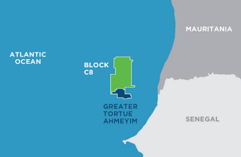 " alt="First LNG Realized at the Greater Tortue Ahmeyim Project">
 " alt="United Energy Acquires Western Desert Producer APEX">
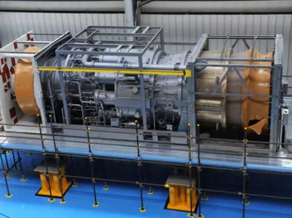 " alt="Baker Hughes Announces Major Gas Technology Orders for Venture Global LNG">
 " alt="Tullow Highlights 2025 Operational Plans in Ghana">
 " alt="TotalEnergies to Supply 1.5 TWh to STMicroelectronics in France Over 15 years">
 " alt="Oil & Gas Crucial for African Growth: AEC Calls for Industry Support to Defend African Market">
