Petroleum Africa
Find us on: 


Friday, December 20, 2013
Gulfsands Petroleum reported that its first phase of drilling operations on its Rharb Center Permit, comprised of the drilling of four commitment shallow gas exploration wells, commenced on October 23. The recently imported COFOR SAS Cabot 750 drilling rig was employed for the job.
These exploration wells are part of a nine-well commitment inherited with the acquisition of Cabre Maroc Ltd. in January of this year. The wells in this first phase of exploration have been designed to test distinct Miocene-aged sandstone reservoirs located at depths between 750 and 1600 meters vertical depth below ground level. These exploration targets have been identified from limited legacy 2D seismic data.
A further commitment includes five gas exploration wells in the second phase of operations;. These will be drilled during 2014 on the Rharb Center Permit and will be located with the benefit of a recently completed 220 sq km 3D seismic survey.
Operations have now been completed on two of the four wells that represent the first phase of the nine-well commitment program. Both wells were drilled within time and budget expectations. The Al Krima 1 well (AKR-1) was drilled to a total vertical depth of 1,613 meters Measured Depth Below Rotary Table (MDBRT) over a period of 21 days. Three significant sand bodies were encountered within the well at depths of 1,141, 1,410, and 1,477 meters MDBRT. However, in spite of gas shows being observed during the drilling of these sands, all sand units were subsequently evaluated to be predominantly water bearing, each containing an average gas saturation of less than 10%. Accordingly, AKR-1 was plugged and abandoned as a non-commercial gas discovery. The post drill review of the well result suggests that a gas accumulation may be present up dip of the AKR-1 well location, but that additional seismic data will be required to determine whether sufficient exploration potential exists to justify further drilling in this area.
At the Oulad Zid 1 (OZI-1) well, Gulfsands drilled the well to a total vertical depth of 1,323 meters MDBRT over a period of 22 days. Three sand packages were encountered where strong gas shows were detected while drilling. The uppermost package at 1,077 meters MDBRT was subsequently evaluated from wire line log interpretations to contain gas saturations of 40-45% within a total net pay zone of less than two meters. The two deeper sand packages commencing at 1,193 meter MDBRT comprised a total of 16 meters of net sand of excellent reservoir quality, however these sand packages were evaluated as predominantly water bearing. Following a technical and economic evaluation, it was determined that the OZI-1 gas discovery would not represent a commercially viable operation and therefore the well was plugged and abandoned as a non-commercial gas discovery.
The deeper sands encountered within the well are attractive reservoir targets for future exploration wells. The recently acquired 3D seismic survey covers the OZI-1 well location and will be used to more fully evaluate the extent and exploration potential of these deeper sands.
Gulfsands will now move the rig to the Beni Fadal 2 (BFD-2) location, where a vertical gas exploration well will be drilled to 970 meters MDBRT to test a significant channel feature identified on 2D legacy seismic data. BFD-2 is located 250 meters away from the 2006 Beni Fdal 1 exploration well, which did not intersect the channel feature but proved the existence of gas at the target horizon depth.
The company also said that acquisition of a 3D seismic survey, covering an area of around 220 sq km over the highly prospective south-western portion of the Rharb Center Permit has been completed and the data are currently being processed prior to interpretation. A “fast-track” processed volume of data is expected to be available in January 2014, with final data delivery near the end of Q1 2014. These data were acquired over an area containing numerous structural features and seismic amplitude anomalies identified on legacy 2D seismic data. It is expected that the new 3D seismic data will be of great assistance in selecting future exploration well locations for the second phase of drilling and beyond.
The Fes Permit 2D seismic program, designed to acquire approximately 650 km of 2D data, is ongoing and is anticipated to be completed, subject to continued suitable weather conditions, early in 2014. These data will be integrated with existing legacy seismic and full tensor gravity data in order to select a suitable prospect for exploration drilling for light oil.
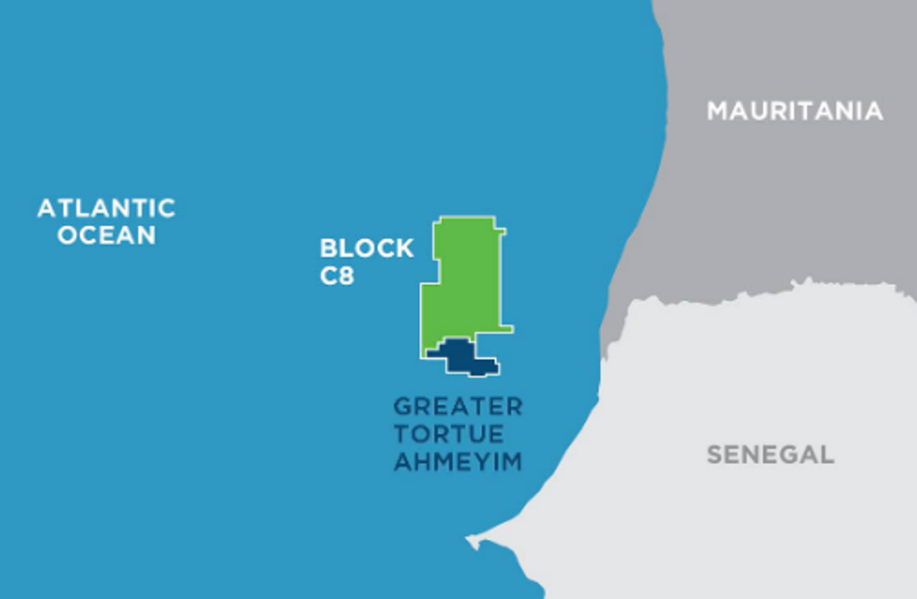 " alt="First LNG Realized at the Greater Tortue Ahmeyim Project">
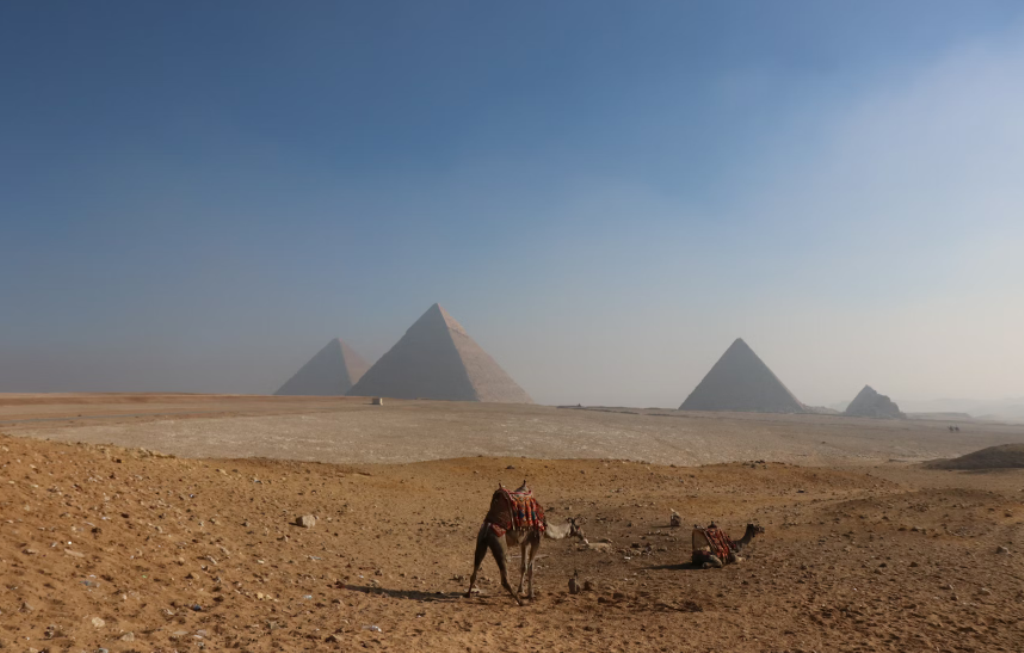 " alt="United Energy Acquires Western Desert Producer APEX">
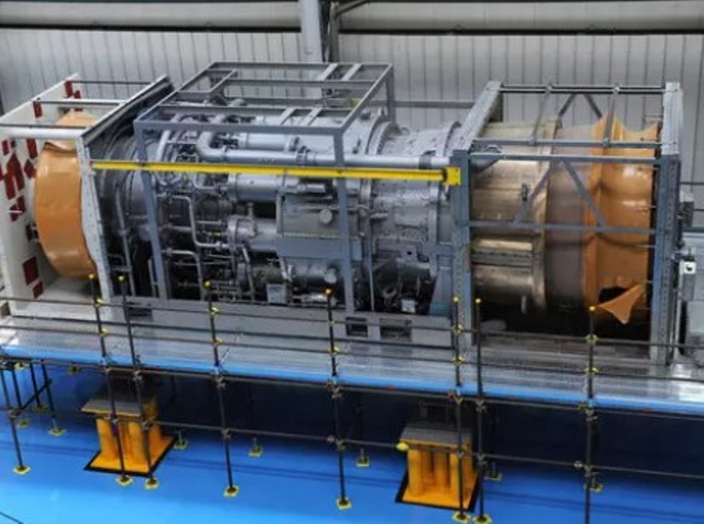 " alt="Baker Hughes Announces Major Gas Technology Orders for Venture Global LNG">
 " alt="Tullow Highlights 2025 Operational Plans in Ghana">
 " alt="TotalEnergies to Supply 1.5 TWh to STMicroelectronics in France Over 15 years">
 " alt="Oil & Gas Crucial for African Growth: AEC Calls for Industry Support to Defend African Market">
