Petroleum Africa
Find us on: 


Tuesday, June 5, 2018
Innovative, disruptive technology more than doubles industry standard for depth of investigation
HOUSTON – June 4, 2018 – Halliburton (NYSE: HAL) today released the EarthStar™ ultra-deep resistivity service, a logging-while-drilling technology that helps operators map reservoir and fluid boundaries over 200 feet (61 meters) from the wellbore, more than doubling the depth of investigation of current industry offerings. The service delivers a comprehensive reservoir view so operators can eliminate costly pilot holes and sidetracks, make informed geosteering decisions in real-time and better plan future field development.
“We are excited to release what is truly a disruptive technology that enables operators to see farther into the reservoir while drilling than ever before,” said Lamar Duhon, vice president of Halliburton Sperry Drilling. “The launch of EarthStar resulted from collaboration with customers to engineer a solution that enhances reservoir understanding and helps reduce well time.”
EarthStar uses azimuthal electromagnetic measurements to map the geological structure around a wellbore, enhancing the operator’s knowledge of the reservoir for improvement of recovery potential. The measurements are integrated with Halliburton RoxC™ geosteering software, which uses advanced computing methods to provide real-time visualizations of the reservoir structure and fluid boundaries.
Operators can deploy the service in a number of applications including geomapping to estimate the volume of hydrocarbons in a reservoir, identifying bypassed pay and planning for future field development. In geosteering applications, EarthStar helps position wells in the reservoir’s “sweet spot” for maximizing recovery. Additionally, through geostopping, the service provides early indications of potential drilling hazards.
An operator in the North Sea recently deployed EarthStar in a mature carbonate field to identify remaining oil within a partially water-flooded reservoir. The service mapped the location of the oil and helped guide geosteering decisions to maximize well contact with the oil-bearing zones. After successfully drilling a long interval, the well entered a zone of injected water that continued for over 400 feet (120 m). The operator considered halting drilling, but EarthStar data indicated a second oil deposit approximately 50 feet (15 m) below the well. This increased the productive length of the zone by 50 percent, dramatically increasing overall production potential.
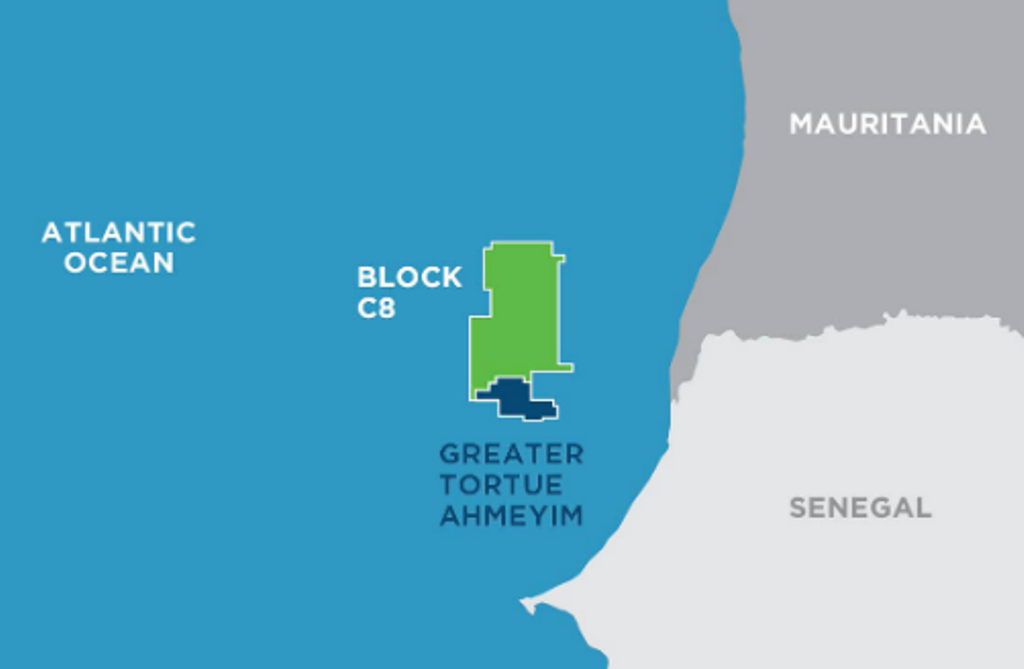 " alt="First LNG Realized at the Greater Tortue Ahmeyim Project">
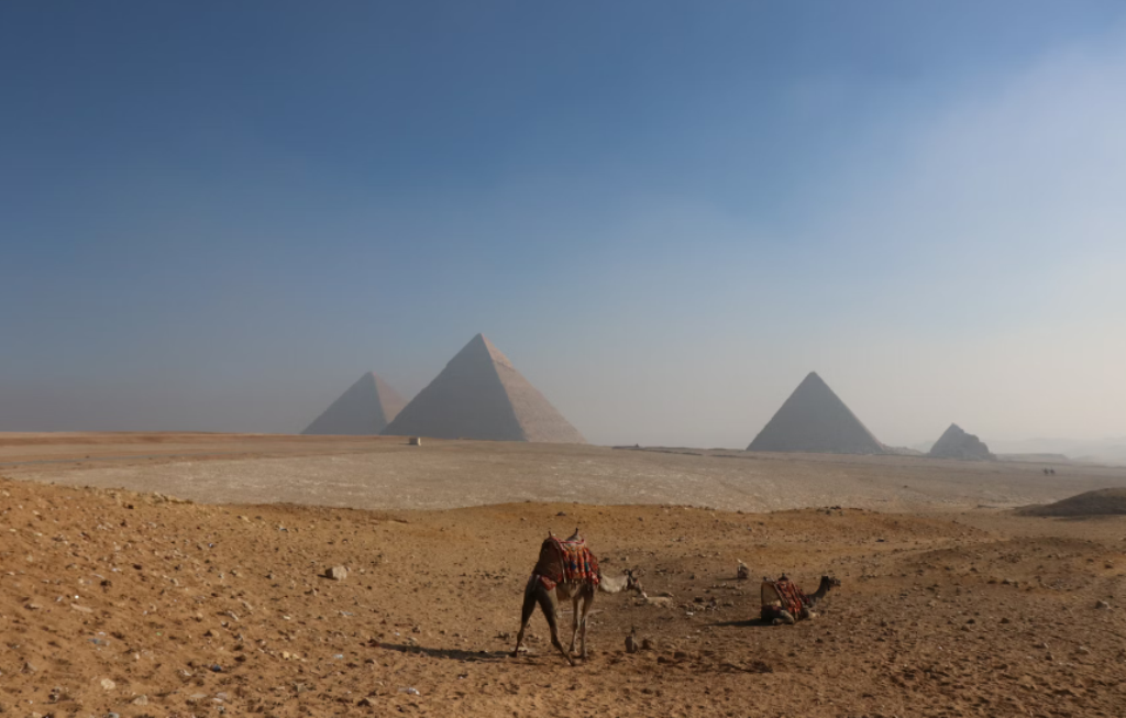 " alt="United Energy Acquires Western Desert Producer APEX">
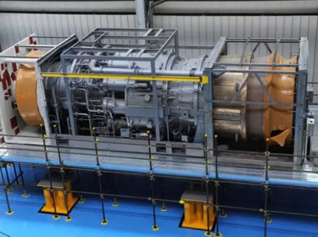 " alt="Baker Hughes Announces Major Gas Technology Orders for Venture Global LNG">
 " alt="Tullow Highlights 2025 Operational Plans in Ghana">
 " alt="TotalEnergies to Supply 1.5 TWh to STMicroelectronics in France Over 15 years">
 " alt="Oil & Gas Crucial for African Growth: AEC Calls for Industry Support to Defend African Market">
