Petroleum Africa
Find us on: 


Thursday, May 16, 2019
PGS’ latest MultiClient 3D (MC3D) GeoStreamer acquisition offshore Guinea has been completed. The MC3D survey covered blocks A4 and A5 and was completed on May 8. The Guinea MC3D survey is PGS’ first MultiClient project in collaboration with Guinea and marks the start of a series of planned acquisitions.
The survey was conducted using the Ramform Atlas over a 7,900 sq km area in water depths of 60 to 4,500 meters. The survey commenced operations in mid-February and took 84 days to complete.
A PGS statement read: “The competent and well-managed PGS crews delivered excellent HSEQ performance, in line with our corporate commitment. The speed of operation, together with a highly effective seismic spread, reduced overall survey duration, maximizing efficiency and minimizing environmental impact. Online barnacle scraping lessened noise and improved data quality while reducing exposure to HSE risks. Evaluation of the acquired separated-wavefield data (P-UP) confirms the high standards achieved.
“PGS brings GeoStreamer technology with a true broadband imaging solution to the Republic of Guinea. Broader bandwidth and rich low-frequency content provide clearer reservoir details in all play types, with reduced sidelobe artifacts.”
The project includes the acquisition and processing of seismic, gravity and magnetic data over open acreages. Commercial, strategic and technical benefits are available now to early participants in the survey.
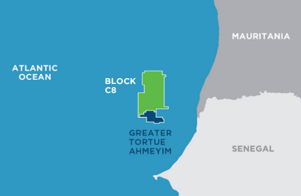 " alt="First LNG Realized at the Greater Tortue Ahmeyim Project">
 " alt="United Energy Acquires Western Desert Producer APEX">
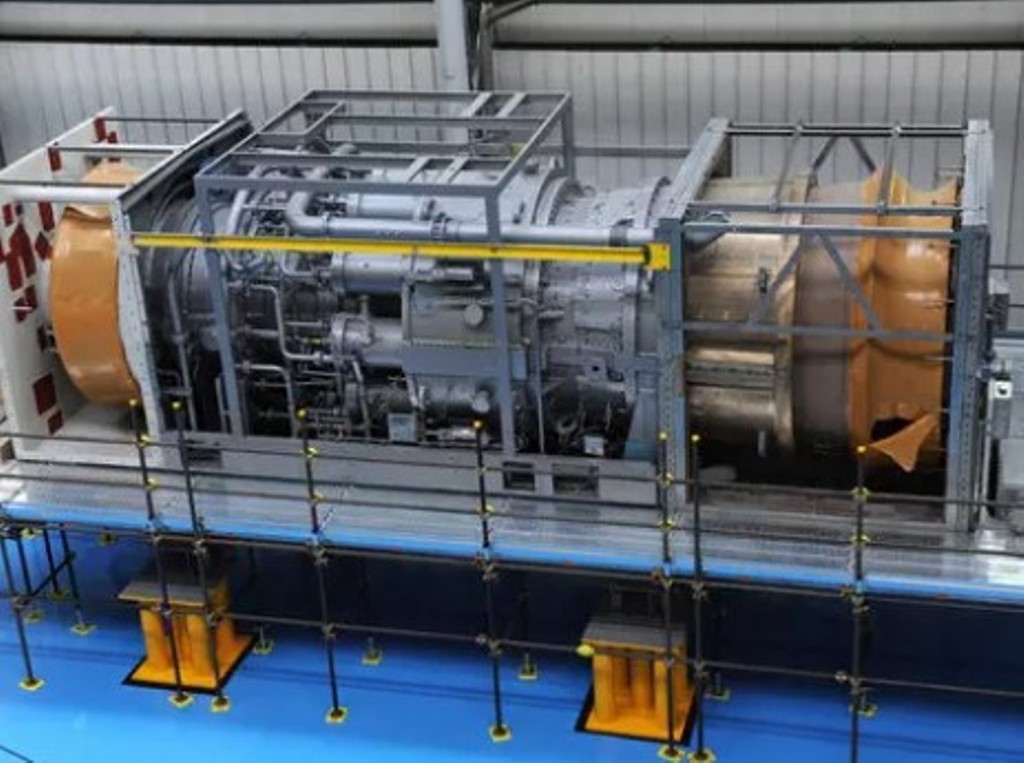 " alt="Baker Hughes Announces Major Gas Technology Orders for Venture Global LNG">
 " alt="Tullow Highlights 2025 Operational Plans in Ghana">
 " alt="TotalEnergies to Supply 1.5 TWh to STMicroelectronics in France Over 15 years">
 " alt="Oil & Gas Crucial for African Growth: AEC Calls for Industry Support to Defend African Market">
