Petroleum Africa
Find us on: 


Monday, May 18, 2015
Savannah Petroleum issued an update on its technical assessment of its asset in Niger,theR1/R2 license area. Detailed 3D seismic mapping over an approximate 680-sq km area of the permit resulted in the generation of 14 drill-ready exploration prospects with management estimated total gross unrisked mean prospective oil resources of c.21 around 215 million barrels at the regionally proven Eocene and Upper Cretaceous reservoir horizons.
In addition to the 14 drill-ready prospects, an additional 37 exploration leads along the north-west and north-east flanks of the permit have been identified in this Eocene and Upper Cretaceous play fairway, with mapped closures of similar size to the fields discovered to date in the basin.Seismic mapping has identified a series of potentially large exploration leads along a regional high at the Upper Cretaceous horizon, with potential closures of up to 40 sq km and evidence of extensive stratigraphic plays at multiple horizons.
Andrew Knott, CEO of Savannah Petroleum, said, “This update reflects the culmination of over nine months of technical work, with Savannah having had the equivalent of a team of six senior geologists and geophysicists working full time on this project. I look forward with confidence to the next phase of our analysis of the subsurface, as we move towards further seismic acquisition and the commencement of our drilling campaign on R1/R2.”
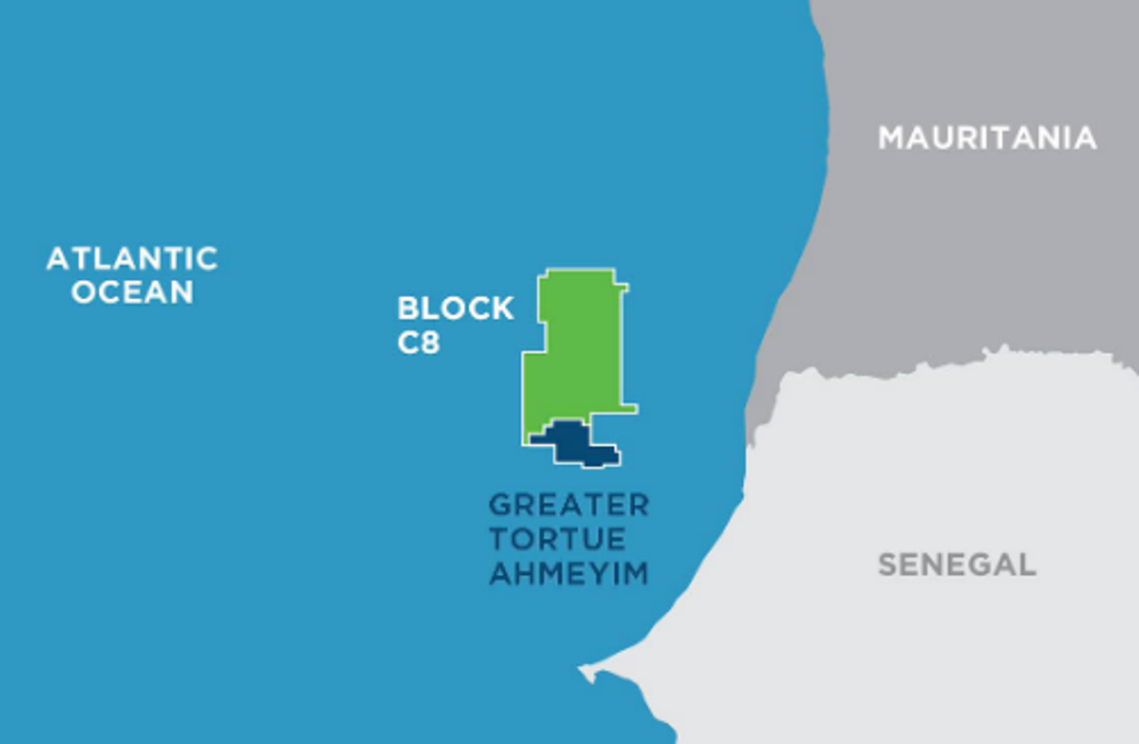 " alt="First LNG Realized at the Greater Tortue Ahmeyim Project">
 " alt="United Energy Acquires Western Desert Producer APEX">
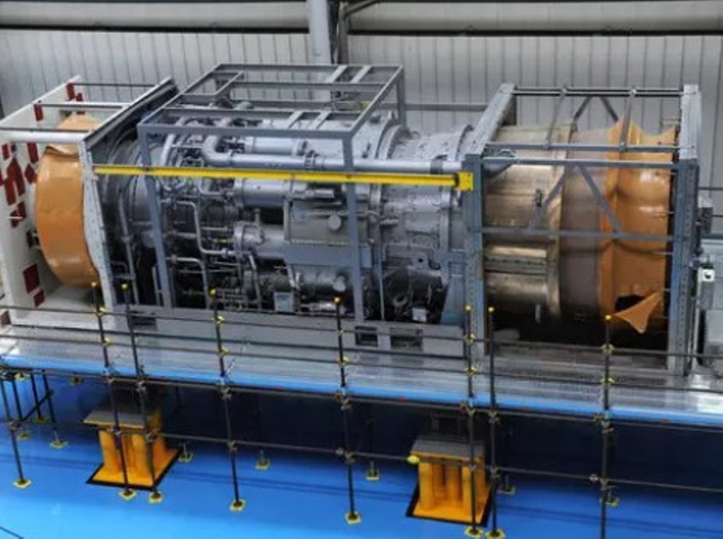 " alt="Baker Hughes Announces Major Gas Technology Orders for Venture Global LNG">
 " alt="Tullow Highlights 2025 Operational Plans in Ghana">
 " alt="TotalEnergies to Supply 1.5 TWh to STMicroelectronics in France Over 15 years">
 " alt="Oil & Gas Crucial for African Growth: AEC Calls for Industry Support to Defend African Market">
