Petroleum Africa
Find us on: 


Tuesday, November 21, 2017
Sound Energy completed its Airborne Full Tensor Gravity Gradiometrics (FTG) and magnetics survey acquisition in Eastern Morocco. The survey team, provided by AustinBridgeporth, flew a total of 26,700 survey line km, across a total area of 22,800 sq km over the Tendrara, Matarka, and Anaoual licenses in just less than 12 weeks. The survey, together with the new 2D seismic program which is now underway, was commissioned to develop a better understanding of the subsurface structure and sedimentary succession.
Sound confirmed the receipt of the preliminary high resolution FTG and magnetic dataset, delivered on schedule and to budget, with highly encouraging results. Critically, these results include the delineation of previously unrecognized subsurface features and a clearer view of the deeper structure across the three licenses. The preliminary data provides a far more detailed view of a deep, thick Paleozoic basin extending over the three permit areas, bounded by a series of NE-SW and NNE-SSW faults. The NNE-SSW fault trend is coincident with the Paleozoic anticline identified on 3D seismic beneath the TE-5 Horst (the possible third well location in the 2018 exploration program). Other similar fault trends may indicate further Paleozoic potential. Following further data processing, likely mid-December, the Company expects to have an improved understanding of the exploration potential of the license areas.
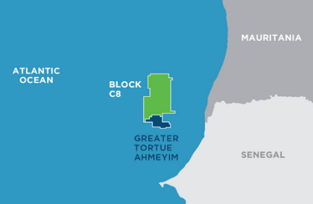 " alt="First LNG Realized at the Greater Tortue Ahmeyim Project">
 " alt="United Energy Acquires Western Desert Producer APEX">
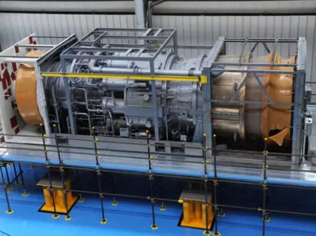 " alt="Baker Hughes Announces Major Gas Technology Orders for Venture Global LNG">
 " alt="Tullow Highlights 2025 Operational Plans in Ghana">
 " alt="TotalEnergies to Supply 1.5 TWh to STMicroelectronics in France Over 15 years">
 " alt="Oil & Gas Crucial for African Growth: AEC Calls for Industry Support to Defend African Market">
